Welcome to the 2013 version of the earthquake tracking thread.
Update 12/23 - We've moved this page over to the Wiki format. Since 2013 is almost done, there won't be a lot of updating to the page except to get some needed resources added in.
----
Oklahoma is home to many fault lines. The two most active areas for the 2012 period was the earthquake swarm zone just to the Northeast of Oklahoma City. The most noticed area was along the previously thought dormant Wilzetta Fault line to the east of the Oklahoma City area. This is also know as the Seminole Uplift.
The Oklahoma Geological Survey can be seen at: Leonard Geophysical Observatory - Home
Recent Earthquakes: Leonard Geophysical Observatory - Recent Earthquakes
This map is updated with all earthquakes recording by the monitoring sites in Oklahoma, and most of these quakes do not register on the USGS site.
Also added is the catalogs page that has documented all (recorded) earthquakes in Oklahoma since 1897, even though most monitoring didn't start until about 50 years ago. Leonard Geophysical Observatory - Catalogs
Event Map Can be Accessed Here: http://folkworm.ceri.memphis.edu/REQ3/html/index.html
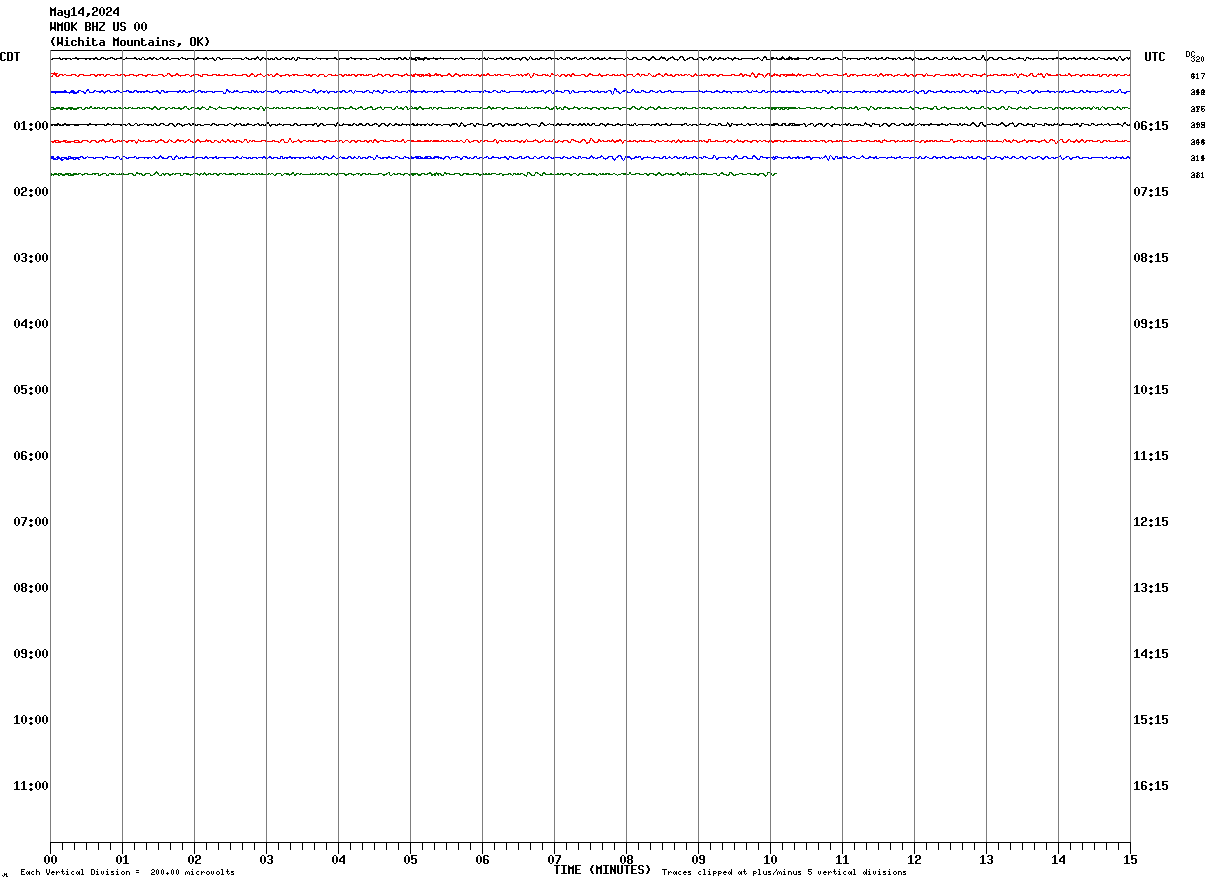
Wichita Mountains Seismogram Tulsa Seismogram
Some important links...
Wilzetta Fault Map: http://www.ogs.ou.edu/earthquakes/Wilzetta2%20(2).pdf
Oklahoma Geological Map w/ Fault: http://www.ogs.ou.edu/geolmapping/Ge...ces_OF5-95.pdf
Oklahoma Seismic Stations Map: Leonard Geophysical Observatory - Oklahoma Seismic Stations
2013 Catalog: OGS Earthquake Catalogs
2013 Map: OGS Earthquake Monitoring
2012 Catalog: OGS Earthquake Catalogs
2012 Map: OGS Earthquake Monitoring
2011 Catalog: OGS Earthquake Catalogs
2011 Map: OGS Earthquake Monitoring
2010 Catalog: OGS Earthquake Catalogs
2010 Map: OGS Earthquake Monitoring


 Reply With Quote


Bookmarks