Another year of weather posts coming up. 2012 was definitely an interesting year weather wise, and the review is just below. I'm going to just tag this for the month of January for right now, even though we tend to bundle it with February. However, we'll see how things play out as it only takes one potential event to add about 12 pages to this thread. LOL
NWS Norman Weather Summary - 2012 Significant Weather Events Summary
- There were 28 daily/monthly temperature records at Oklahoma City, and 26 at Wichita Falls (through Dec. 28th).
- There were 4 daily/monthly precipitation records at Oklahoma City, and 4 at Wichita Falls (through Dec. 28th).
- Oklahoma City tied its all-time record high of 113°F on August 3. The daily high on August 3 at Will Rogers Airport had been preceeded by daily highs of 112°F on August 1 & 2, making it the first time that max daily temperatures of 112°F or greater had been recorded for OKC for 3 consecutive days.
- Oklahoma City set a new all-time record warm low of 84°F on August 3.
- Temperatures at Oklahoma City (through November) were above average every month of the year except for October.
- The preliminary 2012 tornado count for Oklahoma was 62. For western north Texas, a rain-wrapped tornado near Truscott on May 30 was the only recorded for the year.
- The most active tornado month for Oklahoma was April, with a preliminary count of 52 tornadoes. This set a new record for the most April tornadoes in the state for any particular from 1950 through the present year.
- No Oklahoma tornadoes were recorded in June. May, historically the most active month, saw only 4 tornado reports, which tied it for third for the least total of tornadoes for the month of May since offical records began in 1950.
- The highest-rated tornado in our area was an EF-3 that struck Woodward on the late evening of April 14 and early morning of April 15. The Woodward tornado killed 6 people and injured another 29 people, and was the only killer tornado in Oklahoma in 2012.
- The period from May through November of 2012 was the driest May-Nov. for the state of Oklahoma according to the Oklahoma Mesonet.

This initial post will contain information, images, and links that can be used at any time. Images posted later through the thread may or may not be accurate on the day you are viewing them (check the post comments). Information contained in this thread should not be used as an alternative to weather radios, media, or other means of getting weather warnings/advisories.
Current Conditions
|
Oklahoma Mesonet Current Conditions
Red - Air Temp, Green - Dewpoint, Barbs - Wind Speed/Direction, Gray - Gusts, Blue - Precip since Midnight |
 |
|
| 24 Hour Snowfall Totals |
 |
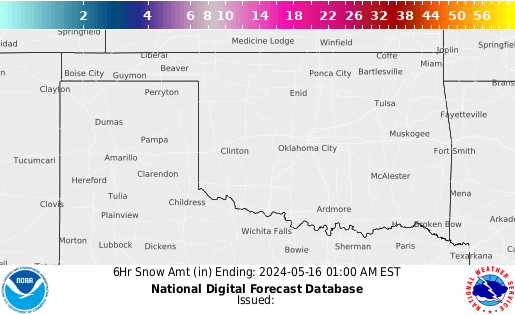
6 Hour Snowfall Forecasts
| 6 Hr |
12 Hr |
18 Hr |
24 Hr |
30 Hr |
36 Hr |
42 Hr |
48 Hr |
 |
 |
 |
 |
 |
 |
 |
 |
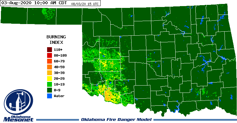
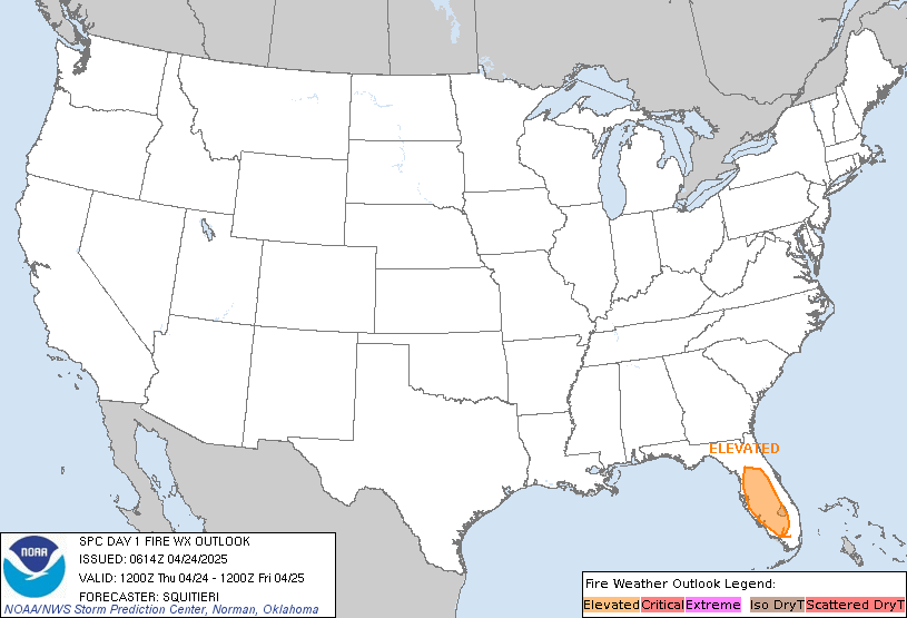
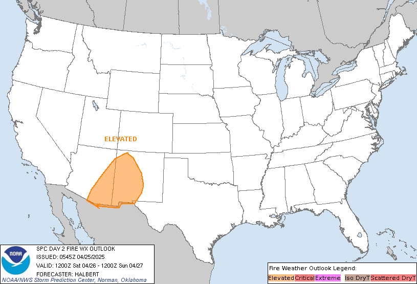
SPC Fire Weather Outlooks
*Click any above graphic to view discussion.*
References
Tutorial: HOW TO VIEW DATA IN HRRR
Step 1) Go the main page: High-Resolution Rapid Refresh (HRRR)
Step 2) Click on 3km HRRR-CONUS hourly
Step 3) Under Domain select SC for South Central US
Step 4) Look at the time frames available. Usually if it isn't through Hour 06 yet, I'll just go up to Date and select the previous time.
Step 5) Depending on what you want to see you can click on the specific time or to loop all the times available you'll see a Check Mark under loop. You can click that to loop them all.
State Radar Images
State Satellite Images







 Reply With Quote


Bookmarks