Since we don't really have a season to go with, I'm going to start putting in much of the severe weather items back into this post. January we saw a little snow but definitely not much to write home about. Going forward looks to be a pretty up and down pattern with more chances of severe weather and some winter weather mixed in. This thread will cover us through March since February is short and shouldn't generate that much traffic. Which means it'll be 50 pages long before March.
Current ConditionsSevere Weather Information
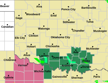
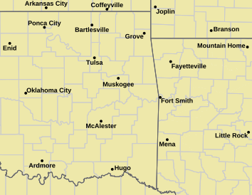
Tornado Warning | Tornado Watch | Severe Thunderstorm Warning | Severe Thunderstorm Watch
Red Flag Warning | Fire Warning | Severe Weather Statement | Special Weather Statement
Hazardous Weather Outlook | Fire Weather Watch
Other Color Meanings: Web-Based Watch/Warning/Advisory Map Colors - NOAA's National Weather Service
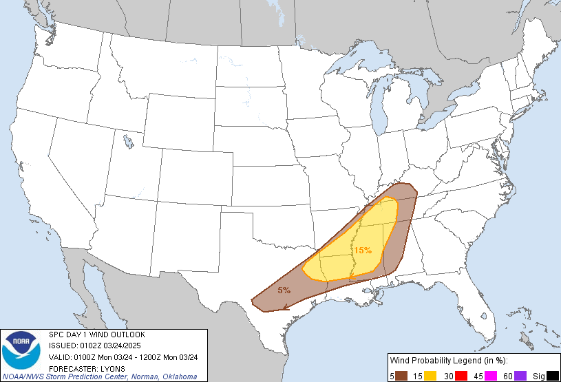
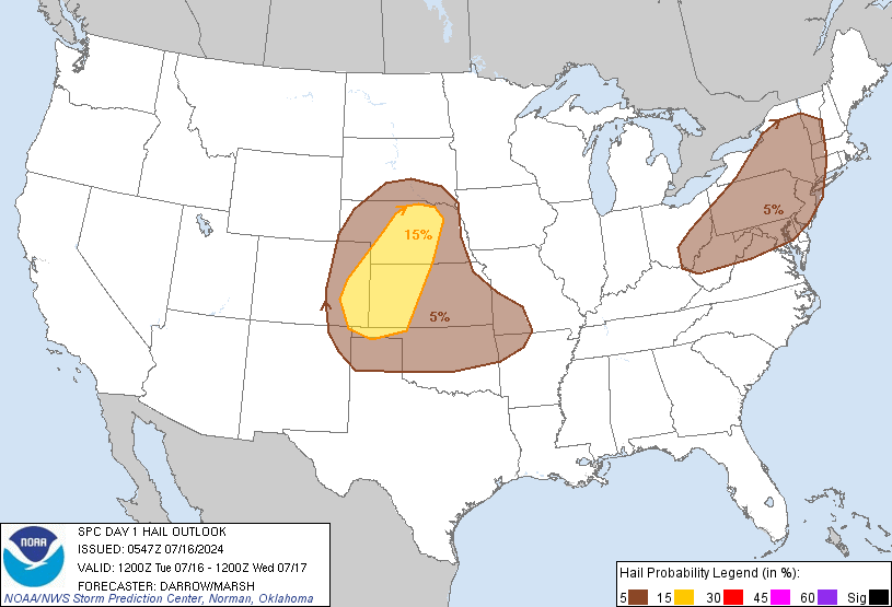
SPC Convection (Severe Weather) Outlooks
*Click any above graphic to view discussion.*
Day 1 Outlook Tornado Outlook Wind Outlook Hail Outlook
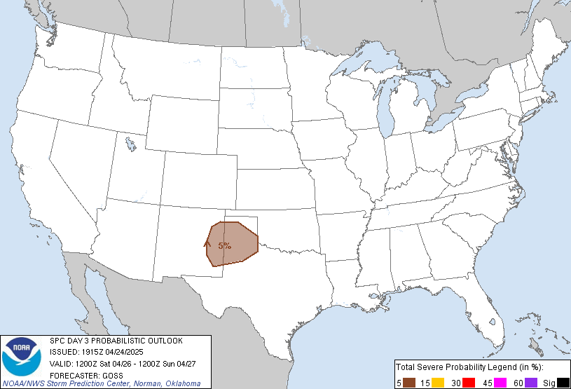
Day 2 Outlook Day 2 Probabilistic Outlook Day 3 Outlook Day 3 Probabilistic Outlook
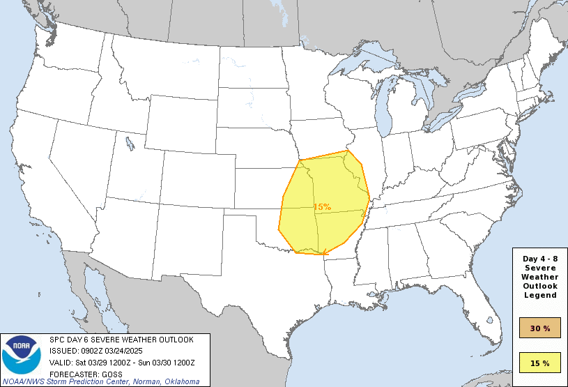
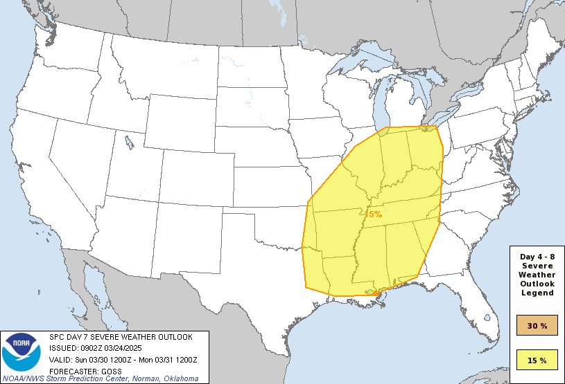
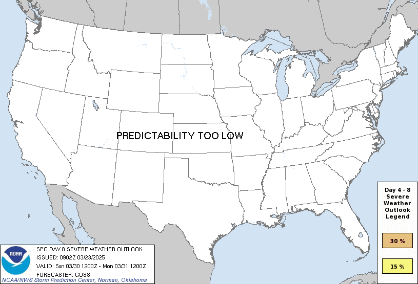
Days 4 through 8 Outlook
Day 4 Day 5 Day 6 Day 7 Day 8
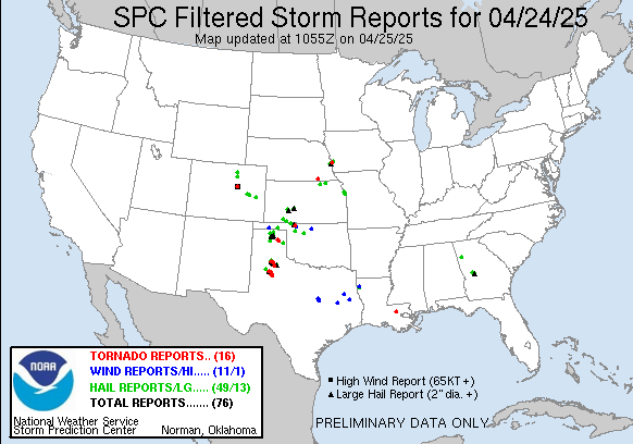
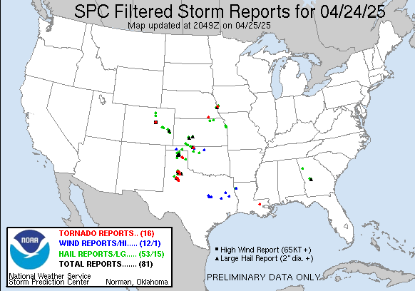
SPC Severe Weather Reports
Fire Weather Images
Oklahoma Mesonet 24-inch Fractional Weather Index Image
Image will appear blank overnight.
Oklahoma Mesonet Relative Humidity Image
Enhanced Colors - Blues are higher/colder cloud tops, Reds are warmer normally clear skies.
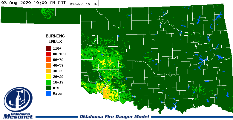
Oklahoma Mesonet -Burn Index Image
Image will appear blank overnight.
Oklahoma Mesonet Consecutive Days with Less Than 0.25" of Rain Image
Enhanced Colors - Blues are higher/colder cloud tops, Reds are warmer normally clear skies.
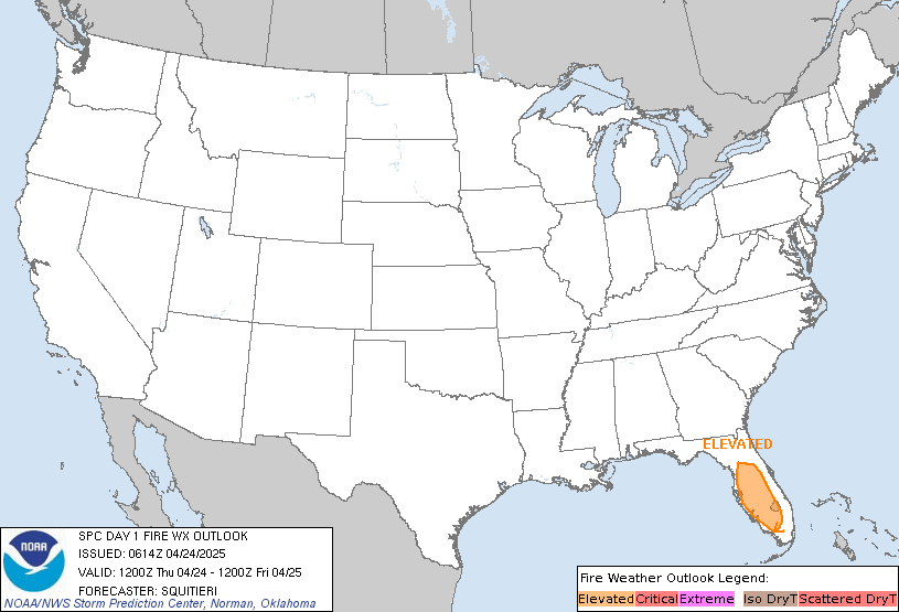
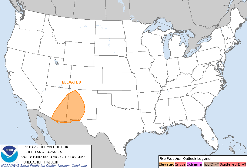
SPC Fire Weather Outlooks
*Click any above graphic to view discussion.*
State Radar ImagesState Satellite Images
WSR-88D Twin Lakes WSR-88D Frederick WSR-88D Vance AFB Experimental Test Beds or Specialized Radars
Some experimental products may not always be live or up to date.
Phased Array Radar (Next Generation Test Bed) CASA Radar Deployment - SW Oklahoma Multi-Radar Products
Oklahoma Mesonet Visible Satellite Image
Image will appear blank overnight.
Oklahoma Mesonet IR Satellite Image
Enhanced Colors - Blues are higher/colder cloud tops, Reds are warmer normally clear skies.
Oklahoma Mesonet Water Vapor Satellite Image
Enhanced Colors - Dark gray/black is dry air, bright white/colorized is higher moisture content/colder air.
24 Hour Snowfall Totals
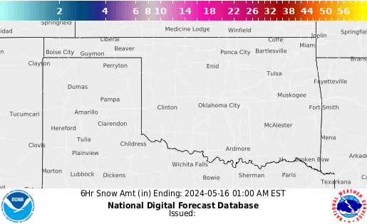
6 Hour Snowfall Forecasts
References
6 Hr 12 Hr 18 Hr 24 Hr 30 Hr 36 Hr 42 Hr 48 Hr
- COD Weather Analysis Page: COD Meteorology -- Surface and Upper Air Data
- NWS Norman Page: NWS
- Storm Prediction Center: Storm Prediction Center
- Oklahoma Mesonet: Mesonet | Home Page
- West Texas Mesonet: Texas Tech University : West Texas Mesonet
- Oklahoma Fire Weather: NWS Norman Fire Weather Forecasts
- Oklahoma Road Conditions: Road Conditions
- Severe Weather Values Reference Guide: The Southern Indiana Weather Spotter's Reference -or- SEVERE WEATHER INDICES PAGE
- TwisterData Model Page: TwisterData.com | Weather Data & Model Forecasts
- Earl Barker's Central US Model Page: Earl Barker's CENTRAL US Model Page
- NSSL WRF Model: NSSL Realtime WRF model Forecasts
- NSSL 4KM WRF Model Forecast Soundings: NSSL 4km WRF Forecast Soundings
- HRRR Rapid Refresh Model: HRRR Model Fields - Experimental
Tutorial: HOW TO VIEW DATA IN HRRR
Step 1) Go the main page: High-Resolution Rapid Refresh (HRRR)
Step 2) Click on 3km HRRR-CONUS hourly
Step 3) Under Domain select SC for South Central US
Step 4) Look at the time frames available. Usually if it isn't through Hour 06 yet, I'll just go up to Date and select the previous time.
Step 5) Depending on what you want to see you can click on the specific time or to loop all the times available you'll see a Check Mark under loop. You can click that to loop them all.

















 Reply With Quote



Bookmarks