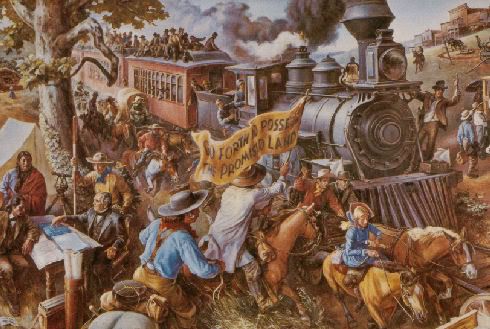
I've started a new post ... Trains & Trolley History ... Doug Dawgz Blog: Trains & Trolleys ... but it's not nearly done, even though the "1st part" pretty much is ... it contains the following pics taken on Saturday 8/11 between 1 and 3 p.m., and, man, was I sweatting before it was done! (I didn't take the google pics or the mural pic from the state capitol).
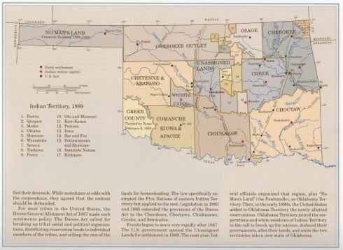
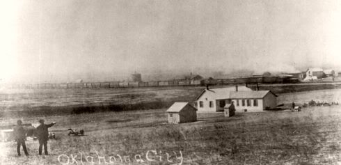
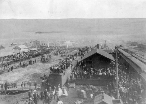
The 1st part is intended to be a sobering introduction before waxing nostalgic. After the initial image which notes that horses, buggys and wagons weren't the only ways to "do" the Land Run ...
... I begin with the section, "Trains in Okc Today" as a reality check.
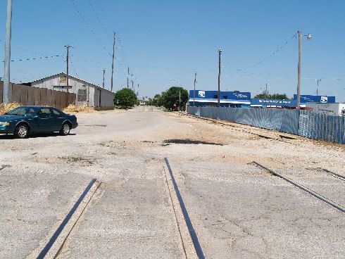
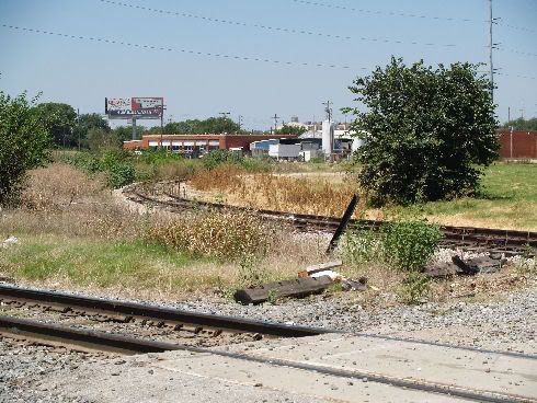
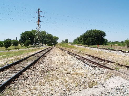
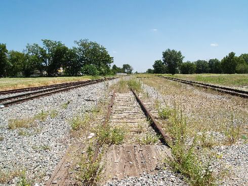
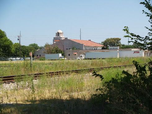
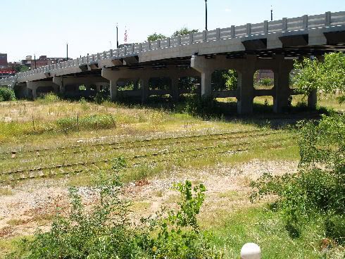
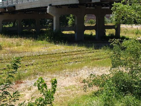
At S. Classen Blvd. Between SW 6th & SW 7th
On The Ground Looking South
Same Location Looking North
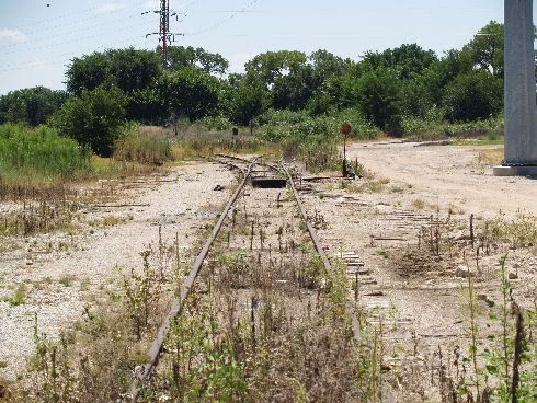
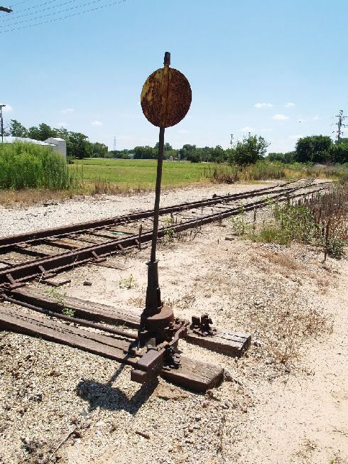
Something Left Behind, Looking Southeast
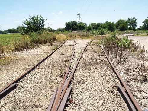
Further South Looking South
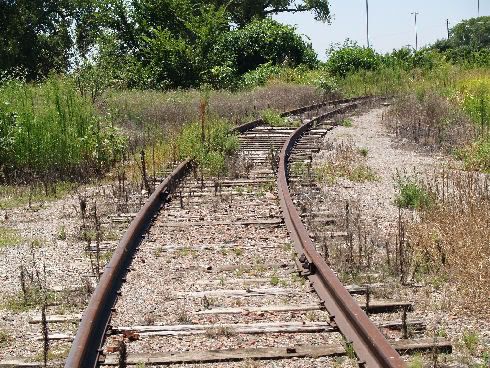
Looking At Abandoned Track Curving Southwest
On the Tracks Looking Northwest Toward Classen
On The Tracks Looking East
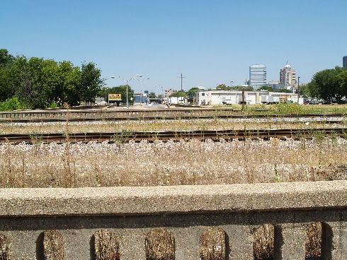
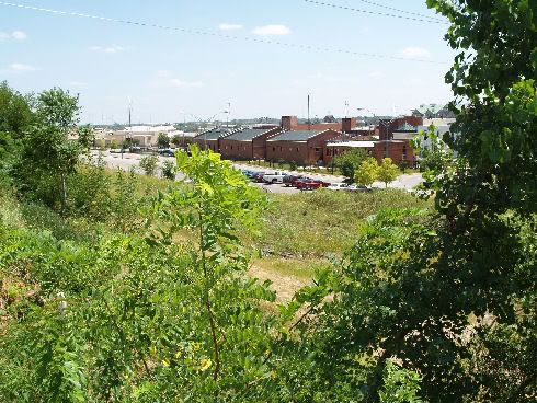
At Walker Looking North Across The Tracks
Looking Northeast Across The Tracks
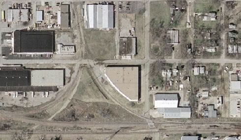
A Google Image of the Union Station Area
Looking Northeast At The Robinson Crossing
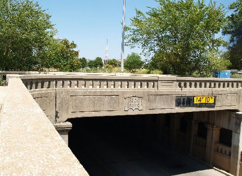
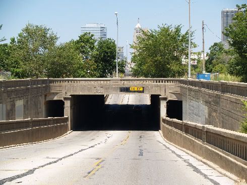
On Robinson Looking North
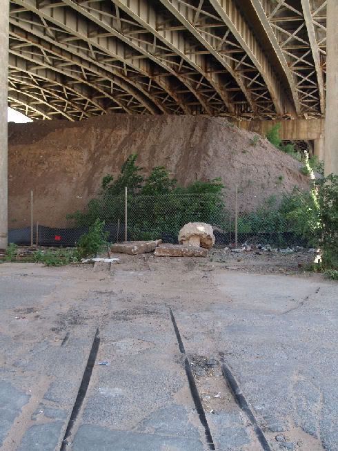
On Compress Street Under I-40 Looking West
On South Side of Deep Deuce Apartments Looking Southwest - Harrison Bridge
Same Location Looking Southeast To the Bricktown Police Station
You Can Almost Not See Them, Now
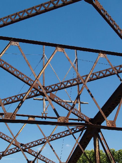
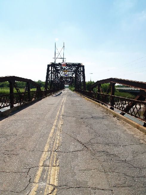
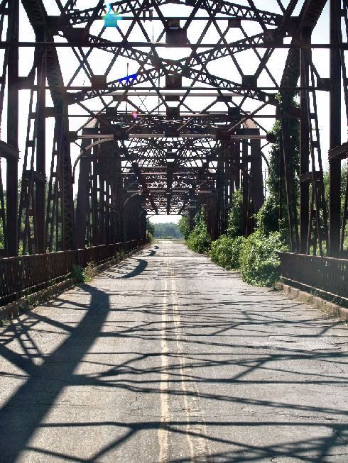
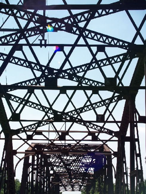
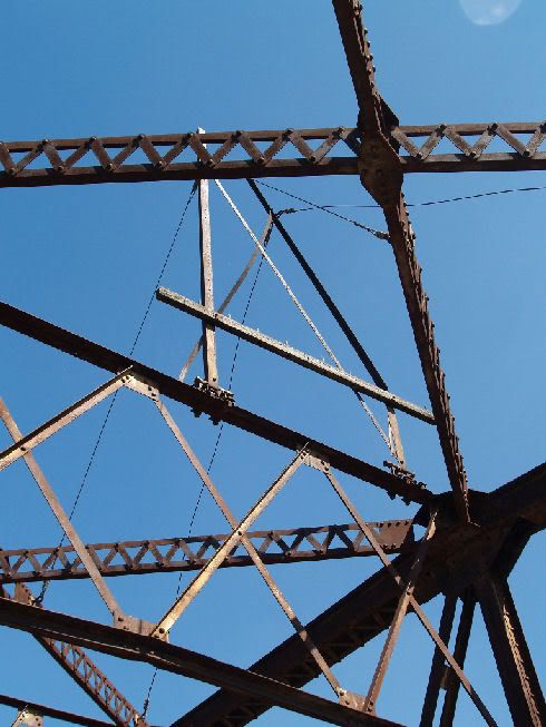
I took a few more this afternoon of the old 39th street bridge which, I think, was the crossing for the Yukon/El Reno Interurban Line north of Lake Overholser ... they are in the same vein as the above but aren't in the blog yet. I'm double-checking to make sure that this bridge was the one used for the Interurban route. It's certainly old enough, and is in the correct location, and has some "thingies" which could hold the electric line, but the road surface is layered with multiple levels of asphalt and, where the concrete begins at the west end of the bridge there are no signs of former rails. So, I'm checking ... if anyone knows for sure, one way or the other, please chime in!







Bookmarks