
Originally Posted by
tomokc

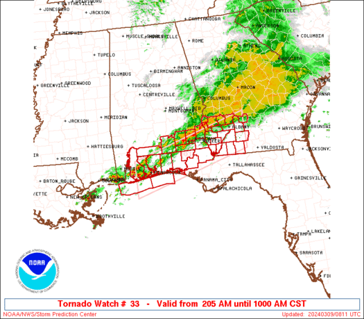
This looks familiar...
Inspired by the success of the forest fire color system, the scale consists of five color-coded threat levels, which are intended to reflect the probability of a terrorist attack and its potential gravity.
Severe (red): severe risk
High (orange): high risk
Elevated (yellow): significant risk
Guarded (blue): general risk
Low (green): low risk
The Department of Homeland Security terminated this advisory system because, according to Secretary Janet Napolitano, "the system often presented little practical information to the public."
All I know is that when Mike Morgan puts on a sparkly tie, I'm getting in my car and driving south.


 Reply With Quote


Bookmarks