


For those of you that think it should be removed, what exactly would you propose we do with the 100K+ people that use it as a main artery through the middle of OKC? It's the main connector between south and north. We don't exactly have a transportation system that could absorb that traffic. If anything, the southern end near I-40 needs to be expanded to correct completely stupid lane merging/shuffling.
There aren't any "alternatives" either. I-35 is close at the I-40 side, but it's much further away at the 44 side. Not to mention then you're just pushing traffic over to a different road. You'd split between 44 (which is already far exceeding capacity) and 35 which isn't built to handle any more than it is now...with another stupid 35S flow.
I'm not the least bit worried that it will ever go away, but I don't really see how it's acting as a barrier. Homes were taken out for the construction, not businesses...almost exclusively. It killed a thriving African American community. If you take the highway out now, what you'll find is a bunch of wealthy (mostly older white) folks moving into the upscale town homes and lofts that will be built there. Yeah, don't think that would piss me off if I were a former resident at allll....sarcasm.
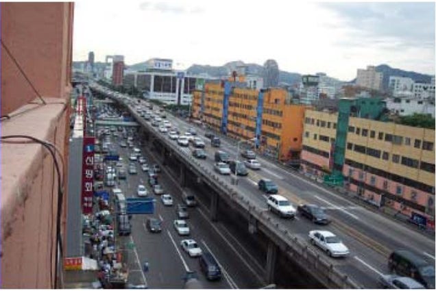
If you bury it, you can't put it deep enough in Oklahoma for it to allow anything to be built on top of it. So as Cuatro's picture showed, yeah you'll get some green space, but you have to cut off access to/from the road to claim back room on either side from the ramps. But if you look at the area just north of the image from JTF, you'll see a MUCH different use of space. The elevated sections have buildings right up to the columns. ODOT did a much better job of preserving things....but again, it's commercial space. For some reason they deemed it more important to maintain than the residential space. It's actually a quite dense construction with the rail yard, drainage system (that wasn't there before), etc. If you don't believe me, just go check out a google map of today. The image above is the absolute "worst case" section of the highway. The rail line serves as MUCH more of a barrier than the highway. OSSM exists in that same section BECAUSE of the highway "clearing" work. And freeing up that residential space is actually part of what's been instrumental in building the Health Complex. Can't have it both ways folks.


 Reply With Quote


Bookmarks