

Now the 45 degree satellite/hybrid map view allow you to look from north, south, east and west perspectives. Though the maps are not using any newer data though and it hurts load times a bit.

 Participating Member


Now the 45 degree satellite/hybrid map view allow you to look from north, south, east and west perspectives. Though the maps are not using any newer data though and it hurts load times a bit.
Participating Member
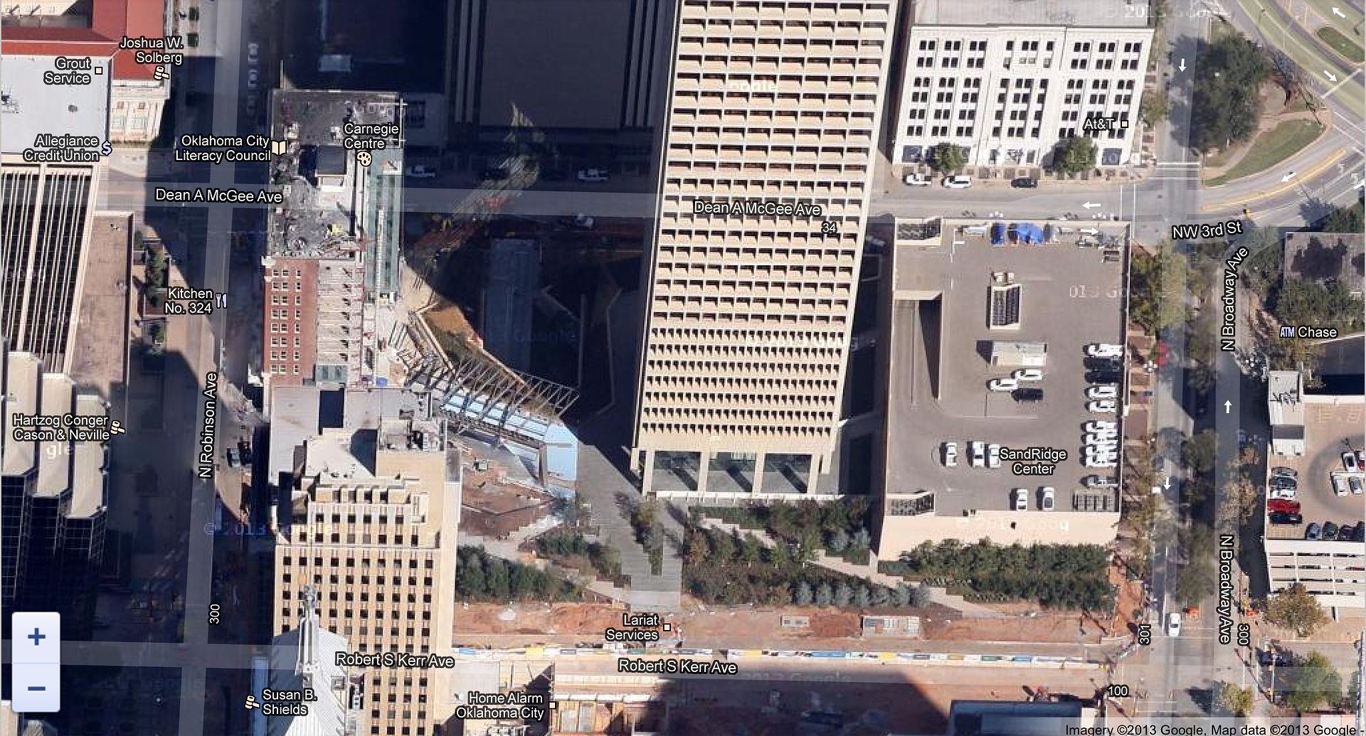
Bumping this old thread, looks like new imagery is finally out for OKC area.
Looks like it is christmas time as you can see Devon's balls.
Participating Member
Thanks for the notice. It's about time they updated it.
Participating Member
Participating Member
Yeah, but when is the streetview ever going to go HD?
Participating Member
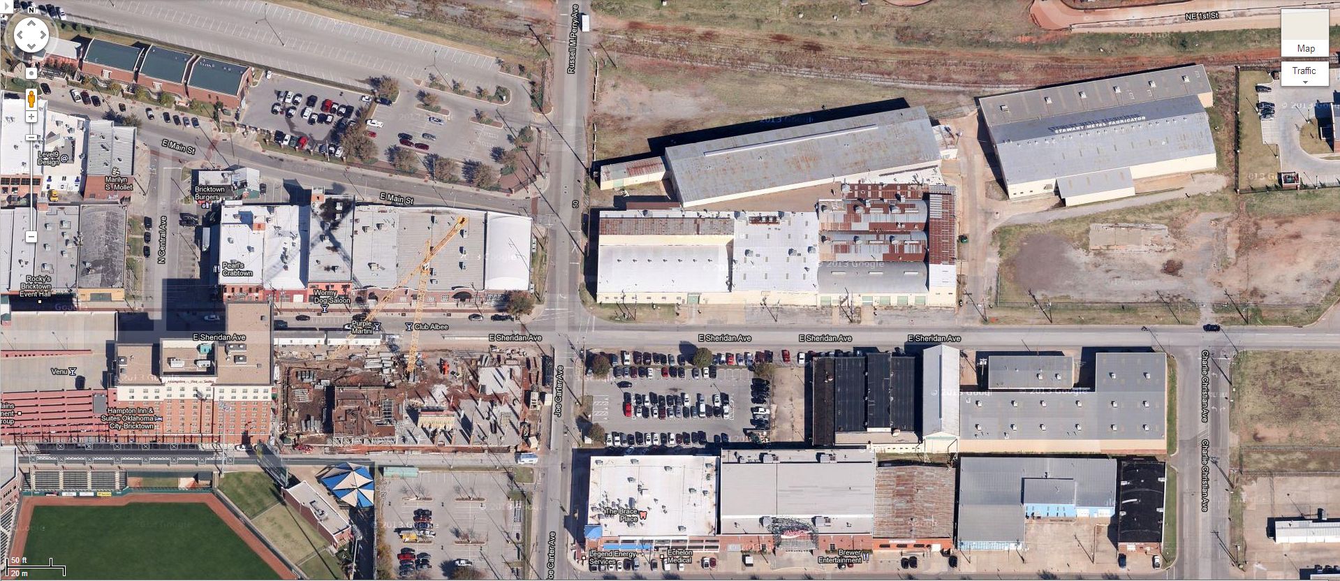
East Bricktown
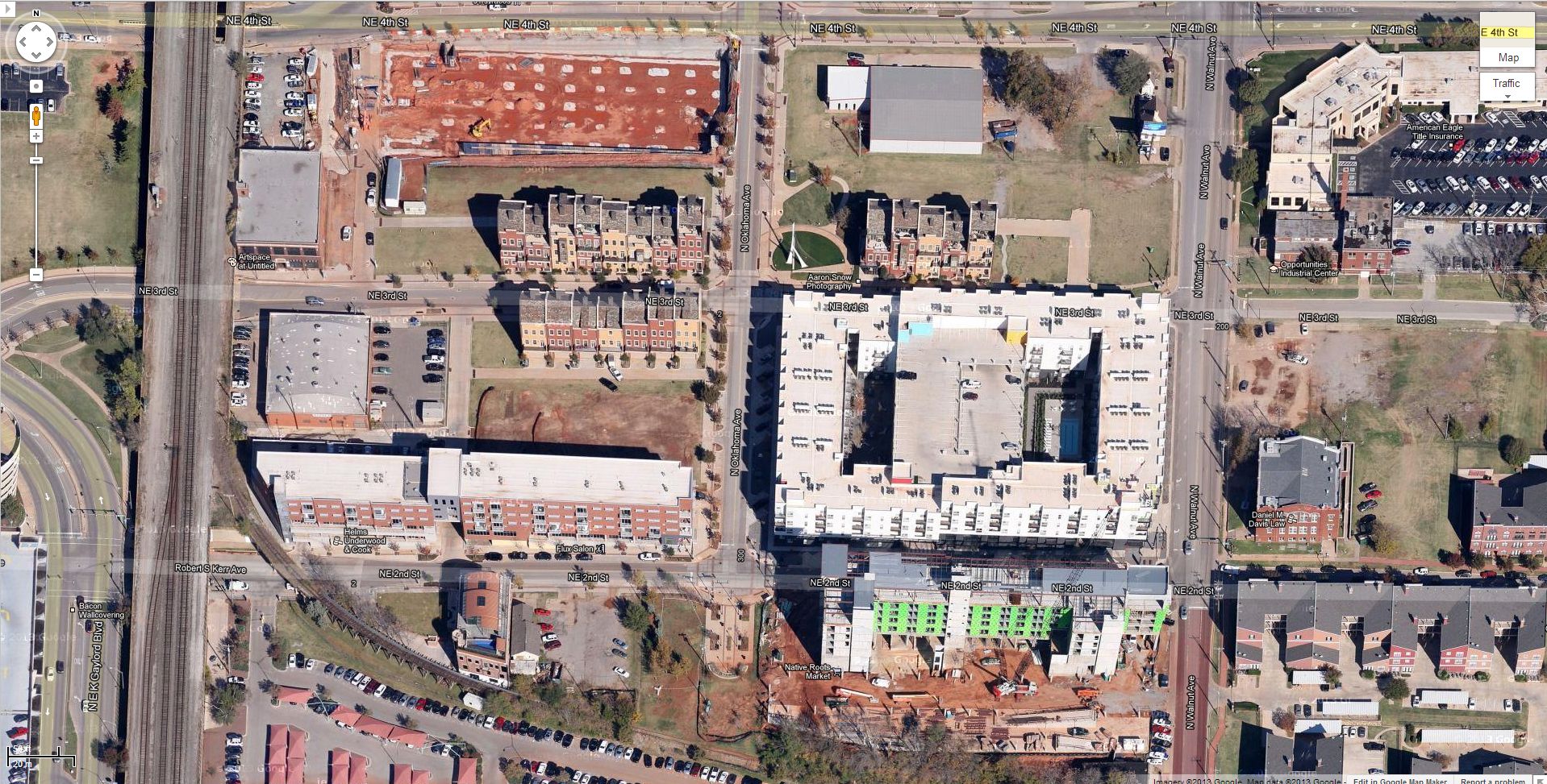
Deep Deuce
Owner / Administrator

Thanks for letting everyone know...
It's fun to look at these.
Participating Member
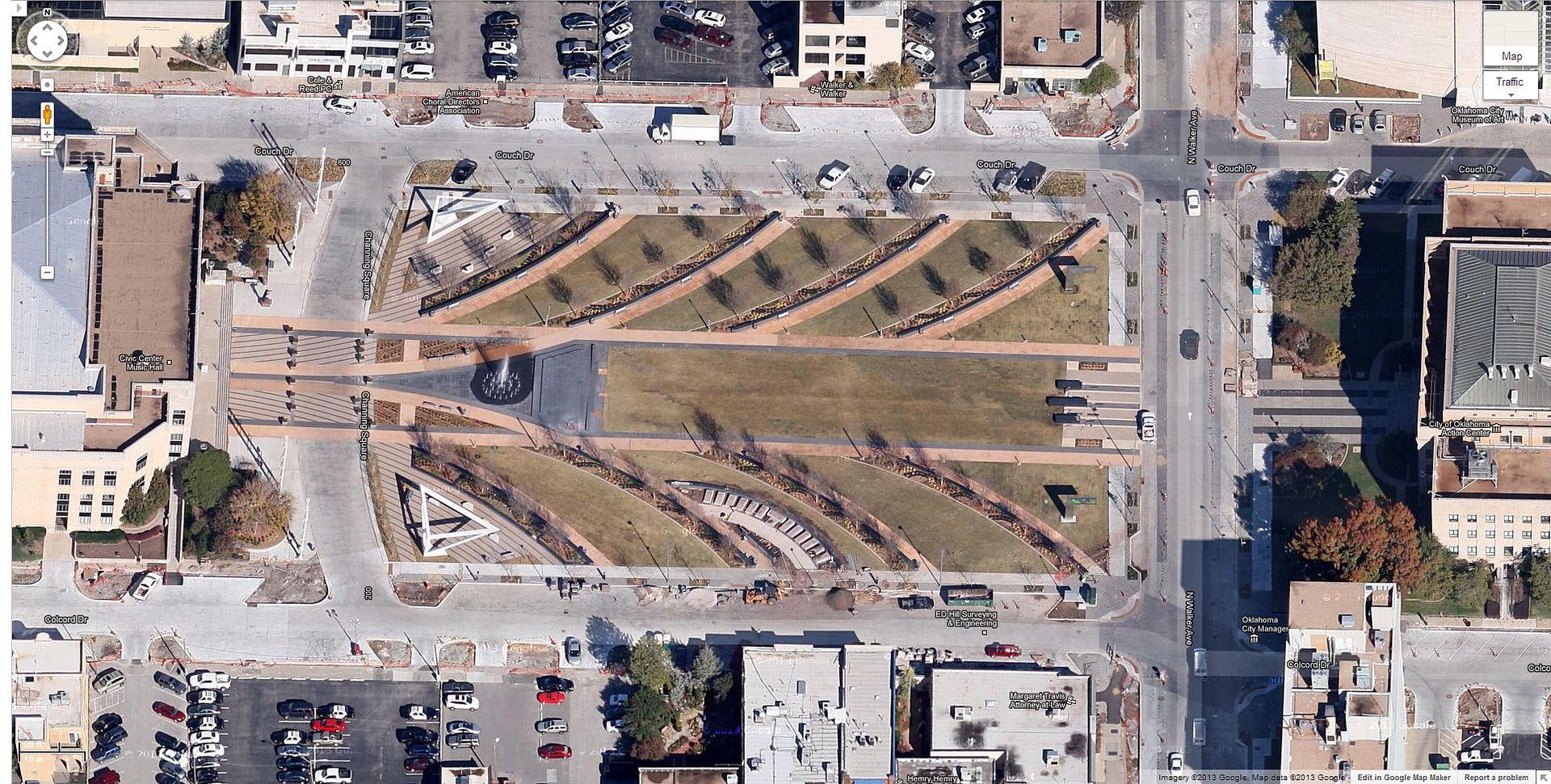
Civic Center Park
Participating Member
Agreed. I am more interested in them getting streetview updated. They have already done it for most other decent-sized cities.Originally Posted by mcca7596

Those low-res photos from 2007, taken in the dead of winter look awful.
Participating Member
Yeah, I saw this thread before you referred it in the Chesapeake thread. Thanks though
The new 45 doesn't go out very far though. I went to 122nd & MacArthur where I live and it's still the old 45 imagery.
Participating Member
If you want a nice before/after look at everything, change the compass to point east or west. The view it presents is probably from summer 2009.
Also it looks like the new 45 degree angle view only covers areas from downtown to about NW 30th. Fortunately, the street view update shouldn't be too far off.
Participating Member
I still don't understand why Google sees Amarillo and Wichita as fit to have HD street view imagery but not OKC. The current imagery from 2007 directly after what looks like an ice storm is the worst possible showcase of our city.
Participating Member
That reminds me, I never posted about it - but last year (2012) I saw the google streetview car in DT OKC around springtime, IIRC.
Participating Member
Bchris,
Maybe they want to release as much of OKC at one time as they can. Tell me where Amarillo and Wichita rank in land size as compared to OKC. Maybe that's why it hasn't happened yet?
I've noticed tons of little towns in Colorado have the new HD views but as soon as you get out of town limits it goes back to crap view.
Participating Member
I understand wanting to try to release all of OKC at once (which they should have by now, as people have been seeing them for almost 2 years), but what I really don't understand is why I-40 is HD all through the Texas panhandle and then just ends at the border.
Participating Member
They only recently posted HD pics of Kansas City that were taken in June 2011.
Patience, people.
Participating Member
In Google Earth there is a mode where you can see historical satellite views. I put it on that this early am and it says 6/2013, and judging by the Oklahoma River, it's technically not June but there are definitely a lot of changes!
Participating Member
Looks like they made a special update show they could show the tornado damage in Moore.
David
Has anyone else been using the new Google Maps yet? Definitely smoother than the existing version.
Participating Member
I tried after receiving the invitation and I found it too slow for me. I'm probably due for a new computer, but I went back to the original version until I upgrade.
C. T.
There are currently 1 users browsing this thread. (0 members and 1 guests)
 Posting Permissions

 Reply With Quote

Bookmarks