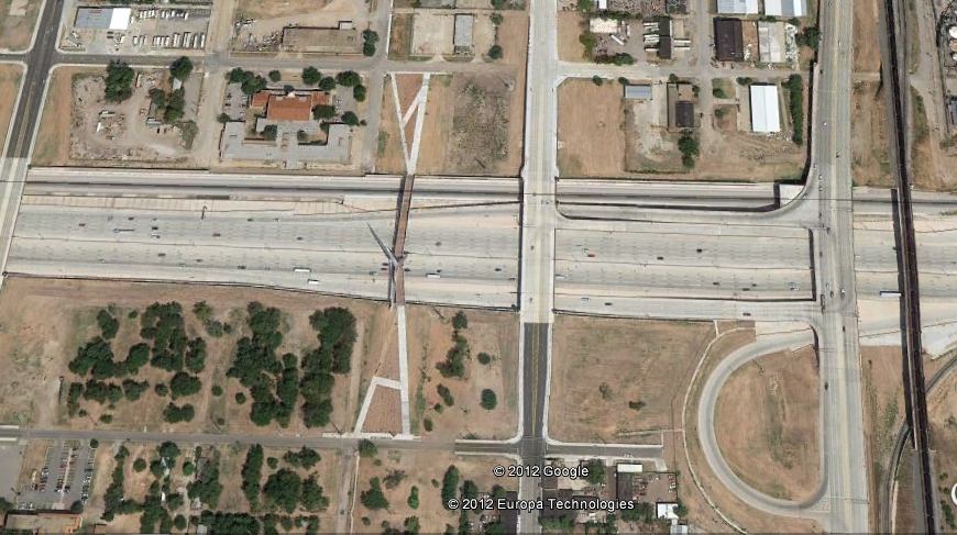
Google maps updated their imagery. Satellite view is now from 8/9/2012.
OKC looks so dead and brown!


Google maps updated their imagery. Satellite view is now from 8/9/2012.
OKC looks so dead and brown!

How do you update google maps?


Some highlights.


Where is image 6? Is that chesapeake?
I only see the new images in Google Earth, not Google Maps.


Yes. The east side of the CHK complex.


I'm still disapointed that the Devon tower isn't on the 3D google maps. They download all these 1-2 story buildings, but not the Devon tower?

These would have been taken a few days after we hit 113 two days in a row, so everything was pretty much burnt to a crisp by then. In fact you can actually see the burn areas in Luther pretty clearly. But its good that they are updating these pretty frequently.
This tells me that they are pretty close to updating the street view imagery.


Most 3D buildings are made by private individuals or companies hired by the building owner. Presenting a positive view of Oklahoma in a 3D world doesn't seem to be high one anyone's list in Oklahoma. Most of the 3D buildings in downtown OKC were made by a 13 year old kid living in San Diego. Compare the University of Colorado to OU or OSU in 3D.

How much is that 13 year old kid working for? Do we need to start a chip-in?


I chatted with him via email about 2 years ago. He could probably make some pretty good money and based on how many buildings he has done he might already be making some money. He has made 327 and 188 have been accepeted by Google.
Models by jjasper123 - 3D Warehouse Search
Where is this, West I-40? Just my guess..


I can't believe what a waste of money...


If you call sprawl "progress". I suppose.


What's really fun about this, and a testament to how rapidly OKC is developing, especially in the core is this: the imagery was from 2 1/2 months ago and is already extremely outdated.
This certainly is an eyesore of a city from above. That must be why God hates us so much!
Jokes aside, we could stand to invest in some hardy evergreen cover. Compare our satellite map to one of Portland, OR. Portland is actually attractive from the sky.

On a related note I saw a google maps car with the mounted cameras on top at the corner of Oklahoma and Reno in bricktown about a month ago.
There are currently 1 users browsing this thread. (0 members and 1 guests)
Bookmarks