^My daughter is in Austin and LOVES IT ….but this summer there has been brutal!


The Mesonet station in Jay set a couple of all-time records today...highest dewpoint in Mesonet history at 85.1 degrees and highest heat index in Mesonet history at 126.7 degrees.


Starting to feel reasonably confident in 1-3 days with lows in the upper 60's, highs in the upper 80's, and 20-30% precipitation chances. This would be centered around the Sunday-Wednesday timeframe. However, it looks to trend back towards warmer/drier conditions by Labor Day Weekend. Certainly not expecting any notable precipitation amounts even with the pattern change, so unfortunately the drought areas which are currently limited to North Central and Southwest Oklahoma may continue to expand closer to the Metro.
EURO forecasted rain totals through Monday. There will be scattered thunderstorms Sunday night into Monday but they will not be widespread and will favor eastern OK. Temps will be back in the upper 80’s though


Drought state wide went from 12.75% last week to 28.14% this week ..
1 year ago it was 98.64%
only 8% is severe or worse year ago 89.68 was severe or worse ..
Interesting map showing how drier air has been moving in this past week and also the effect the forests/trees (and recent rains) in eastern OK have on surface dewpoints. Jay had an all-time record high dewpoint of 85 on Monday.


Brief cooldown coming Sunday into Tuesday. Best shot at thunderstorms is across N OK.
But then the burners get turned back to high. With the drought taking back control of the region, I think we could see some record setting highs in OKC the first couple weeks of September.
Yep be thankful for whatever you get rainfall-wise this weekend because it could be a couple weeks of dry weather afterward
A pattern change is likely though starting the second week of September and potentially lasting through the end of the month that could bring cooler temps and more rainfall, which would be more typical September weather in Oklahoma
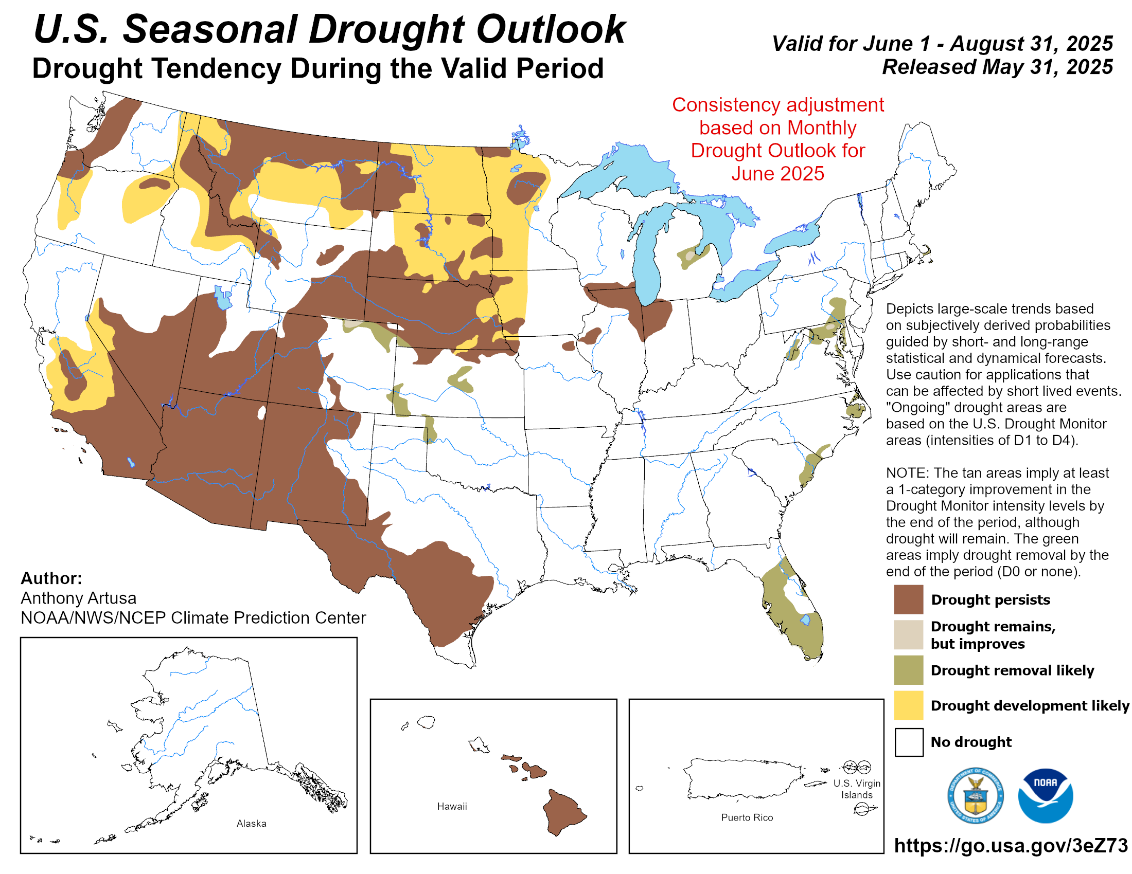
As for the drought it's not predicted to come back due to the plentiful summer rains across much of Oklahoma and the likelihood of typical fall rainfall - though current dry areas in north-central OK and along the Red River will need some help to get fully out of drought and things are looking continually bleak in Texas. Texas could be in major trouble if they don't see a tropical system in the next couple months.

Southwest Oklahoma. That is a pen!s.
Edit: wow we really cant say that word on this site? What a joke.
A few lucky locations in south-central OK picked up some decent rainfall yesterday. Most areas across the state were dry. Temps will be in the upper80’s/lower 90’s this week which will feel great. Unfortunately no rainfall in the forecast for the next two weeks until the pattern changes mid-September.
Heat dome comes back the end of the week huh? I hope it is the last of the year.
Getting crispy again especially across south-central OK. At least another week until moisture returns


Should move up the start of the State Fair by a week in order to end the drought earlier.
Like clockwork just like the arts festival
Even with the current dry conditions overall the state is in much better shape right now vs this time last year. Especially the NW and Panhandle areas. If we get into our typical fall rainfall pattern which is likely with El Niño building we should be in even better shape heading into the drier winter months.


This is probably better suited to another thread, but this article in the NYT is quite an eye opener.
https://www.nytimes.com/interactive/...te-change.html
There are currently 4 users browsing this thread. (0 members and 4 guests)
Bookmarks