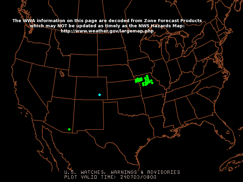
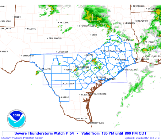
Morning all...stupid volcano erupting kept me up last night, so a bit of a slow start today. I won't do another run down of all images and text until around 1PM or so. Quick version though of what I see so far...
Moisture transport from the Gulf began last night pretty big and that is what is going on outside. Low stratus deck is helping to maintain dewpoints in the upper 50s for nearly all of Oklahoma except far west and the panhandle where the dryline has already passed (in the 20s out there). The other major key we have today is the heating that will be needed to bust the cap. The inversion is going to be pretty tough today, but if we get some sun that should help. If the sun doesn't heat it up enough, we'll remain capped until this evening when the main forcing (cold front) plows through the area...bringing the squall line with it.
Currently on vis imagery, which you see in my first post, you can make the dryline out a bit - it is the back edge of the clouds out west. Looks like development of a CU field is under way out there, though it isn't really extensive. Short term models are having a bit of trouble this morning, but we'll see what happens. One has the initiation around 8PM in West Central OK around Weatherford/Clinton, developing fast into a broken line from that point north and moving due east. However, close to early tomorrow morning development fires up all the way south into West Texas along the dryline/cold front taking the squall line through our area as late as 9-10AM on Tuesday. I think the timing is off a bit...but we'll see.
Another model has initiation in roughly the same area, just a bit further south to like Cordell up through Ponca around 4PM with strong-severe convection from Ponca to El Reno to north of Lawton by 7PM. That model though has convection quickly fading away by 10-11PM, which obviously won't happen. So pretty much we are in wait and see mode, but the models give us some hints on when to start watching and what we can expect.
Now your questions Thunder...
1. How can moisture magically jump over such a vast area and be in northern area?
A lot of it has to do with other dynamics, but moisture specifically can be mixed out faster in other areas. The risk area will continue to move around depending on who gets the best heating, where moisture stays in place, and where any dryline bulges may form to provide the best lift.
2. Why would the moderate risk only be a smaller portion of the northern area while the dryline actually extends all the way down south?
Risk areas are defined where the greatest probability is for each category. Hail/Tornado/Wind are all broken down. One area will have a higher tornado risk usually that will push the Risk Category up. It is all dependent on dynamics and the whole 15 pieces of the puzzle coming together for this one thing to happen. Farther north will have a higher risk today due to more forcing and greater dynamics. Farther south will have a lower one because the tornado risk is not as great, and a squall line with some wind and hail is the main expected threat.
3. Isn't the energy actually coming up from the south/southwest?
The main storm system is in the Central/Northern Plains. There will be shortwave coming across the area from the west today. Then you have the moisture that is coming in from the gulf. So really, you have to look everywhere and everything has to fit together just right for A, B, and C to happen.
Seeing a tornado up close is definitely a rush, but is also sobering when you see it in a populated area.


 Reply With Quote


Bookmarks