Live Chat @ Weather Spotlight | NWS Norman (OUN) | Storm Prediction Center | Mesonet | West TX Mesonet | NWS OUN Fire Weather | Road Conditions
Current Conditions
[hr][/hr]
| Air Temperature |
Dewpoint |
Winds |
Rainfall Last 24 Hours |
 |
 |
 |
 |
[hr][/hr]
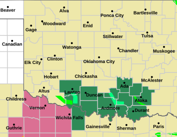
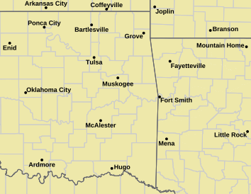
| Advisory Table |
NWS Norman Warning Area |
NWS Tulsa Warning Area |
- Tornado Warning
- Tornado Watch
- Severe T-Storm Warning
- Severe T-Storm Watch
- Blizzard Warning
- Blizzard Watch
- Winter Storm Warning
- Winter Storm Watch
- Ice Storm Warning
- Red Flag Warning
- Winter Weather Advisory
- Wind Chill Advisory
- Wind Chill Warning
- Freezing Rain Advisory
|
 |
 |
Other Color Meanings:
Web-Based Watch/Warning/Advisory Map Colors - NOAA's National Weather Service
[hr][/hr]
Radar & Satellite for Oklahoma
[hr][/hr]
[hr][/hr]
Severe Weather Outlooks & Products
[hr][/hr]
| Day 1 (Today) Outlook |
Day 2 (Tomorrow) Outlook |
Day 3 Outlook |
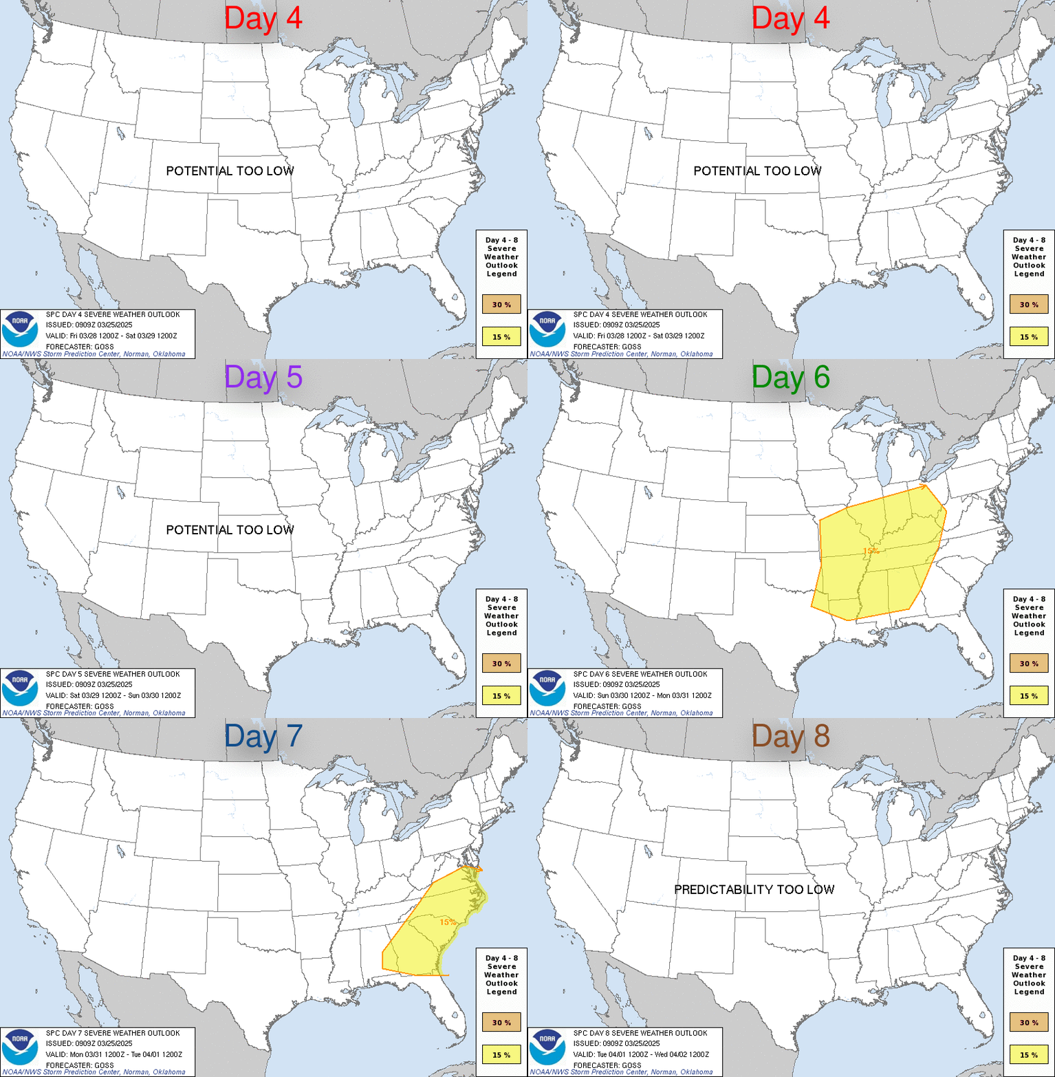
Outlook for Days 4 through 8 |
 |
 |
 |
 |
[hr][/hr]
| National Advisory Map |
SPC Mesoscale Discussions (MCD or MD) |
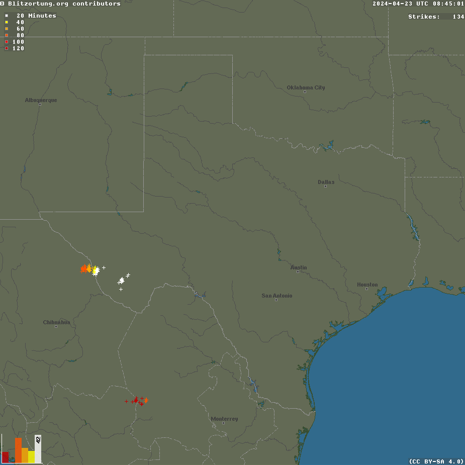
Regional Live Lightning Image |
 |

SPC Watches
 |
 |
Additional information is always available via:
http://www.weatherspotlight.com/Including the side-by-side model comparisons per run time. Lightning image is © Blitzortung.org. Mesonet maps are all © of the Oklahoma Mesonet / OU Board of Regents.


 Reply With Quote


Bookmarks