Thought I heard that the lack of snow on the ground north of us kinda kills some of the arctic blasts bite?? Could have misunderstood as I was barely paying attention


Thought I heard that the lack of snow on the ground north of us kinda kills some of the arctic blasts bite?? Could have misunderstood as I was barely paying attention
Weather Channel has their map curving at about Wichita and only catching the NE part of Oklahoma. She even said, "If it even manages to drop that low." I guess they're all over the map - literally!
GFS now hinting at a 2nd wave coming through mid to late week that will put down a couple inches of snow over the are generally south and east of I-44. Will touch on it more tomorrow if it remains.

Time for an update ...

Oh I guess. So demanding! LOL :-)
I. Cold Air
- First shot comes in on Thursday. Lows in the 20s, highs in the 30s...but won't last long. We'll start to snap back on Friday into the 40s. This will mainly impact the Northeast/Great Lakes, but still temps in the 20s for the most part...really not that bad.
- Next major shot starts to develop over the weekend in BC/Alberta. Through the week it'll mostly setup in the northern tier of states. A second push comes Thursday/Friday to start pulling it south. Temps in the Northern Plains could be 20 below Friday morning. Here we'll be looking at highs in the 30s for the most part until Monday the 23rd.
- Third reinforcing shot, all those the core isn't that cold, will be on the 24th/25th. Temps probably highs in the 30s and lows in the 20s or upper teens. Nothing horrid.
II. Precip Chances
- After today's precip, next shot starts Weds the 16th. Right now it appears to mainly be SE or far east OK.
- Saturday 21st chance of precip over most of the state, except SW OK. Best chance is Northern OK. Moves out Sunday AM.
- Monday 23rd into Tuesday the 24th - precip in Northern OK on Monday morning then East in the PM and into Tuesday.
III. Winter Precip Chances
- Really the only shot looks like on the 21st/22nd right now. Temps will be cold enough to keep it mostly snow north of I-40. Looks like it would be light. Inch or less near I-40 and 1 to 2 inches in Northern OK.
- A very slight chance of snow following the system that moves out on the 24th. Could see a dusting in the Northeast half of the state.
Speaking of update the middle column of stormscope.com sure needs it.

MAJOR UPDATE RED ALERT
It is now SNOWING in OKLAHOMA!!!
Yes it is snowing. No it isn't going to last. Main snow band is almost out...some scattered flurries will remain behind it.

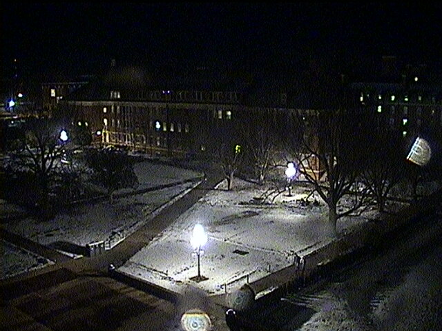
First snow of the season to coat the ground white in central Oklahoma.
Snow is sticking to the ground but not streets at OSU in Stillwater along Farm Rd.:
From north side of Classroom Building


Hope everyone is surviving the snowstorm-lite.version since yesterday. Some of those flurries must've been fatal.

You can almost hear Gary England yell, "STAY INSIDE!!!"
Areas of NE Oklahoma including Tulsa have snow on the ground this morning thanks to that fast-moving snow band. A dusting to an inch.

We had 3.5 inches of snow from that storm here in Aurora. It was in/out of here pretty fast.

That's what she said.
Very high to extreme fire danger is coming up this weekend.


Looks like a lot of low 60's scattered in thru the end of Jan...Wow

There are currently 15 users browsing this thread. (0 members and 15 guests)
Bookmarks