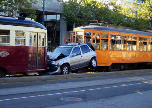
I am re-posting this as we started a new page for reference...
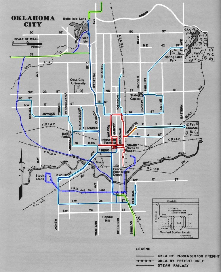
For context, I am going to put up two maps made public at the previous committee meeting for reference. I have never put a map out on OKCTALK before.
The
core map is what was approved as being "protected."
Several
conceptual master plans were shown at the last committee meeting. We were all challenged as a "homework assignment" to produce "master plans." This larger area map shows one example of how the approved core area "protected corridor" might fit into a larger system that extends outside of downtown.
Please keep in mind that that this is my personal idea of what a greater system "might" look like. But all in all, three other maps and several verbal descriptions by committee members were put out there. They all followed a almost identical perspectives as it relates to the "core" area. That is how we came to the majority conclusion about the "protected" corridors at the last meeting. They were "re-debated" and solidified yesterday.
The "stub ends" as part of the protected core areas (particularly the Bricktown Core 2 Shore connections) will be addressed as we have more information about the hub, convention center location, and bridge reconstruction costs.
Attachment 769


 Reply With Quote


Bookmarks