Widgets Magazine
Page 6 of 6 FirstFirst ... 23456
Results 126 to 132 of 132

Thread: March '10 Weather Discussion

  1. Default Re: March '10 Weather Discussion


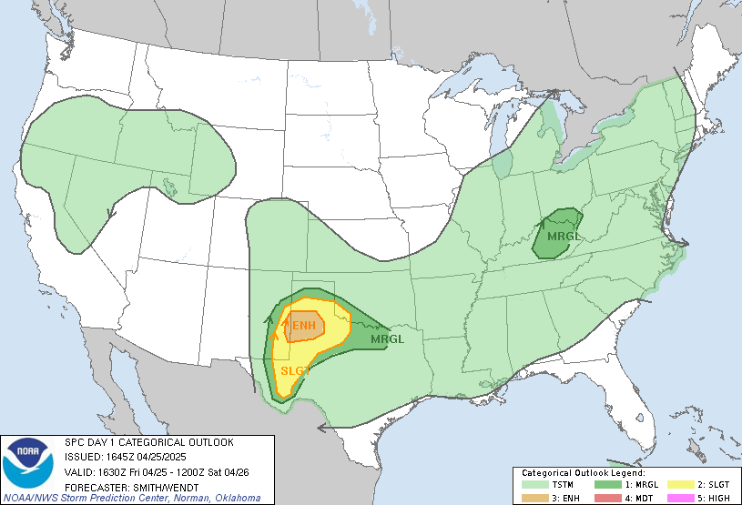
    DAY 1 CONVECTIVE OUTLOOK
    NWS STORM PREDICTION CENTER NORMAN OK
    1049 AM CDT WED MAR 24 2010

    VALID 241630Z - 251200Z

    ...THERE IS A SLGT RISK OF SVR TSTMS OVER PARTS OF OK/TX...

    ...SRN PLAINS TOWARDS THE LOWER MS RIVER VALLEY...
    MORNING ANALYSES AND MODELS ARE IN LINE WITH EARLIER FORECASTS
    ACROSS THIS AREA THROUGH TONIGHT. INTENSE MID/UPPER LOW NOW OVER
    SRN CO/NRN NM WILL PROGRESS STEADILY ESEWD ACROSS THE SRN PLAINS
    WITH ASSOCIATED TROUGH GRADUALLY TAKING ON A MORE NEGATIVE-TILT BY
    THE END OF THE PERIOD. SURFACE LOW OVER CENTRAL/SWRN OK THIS
    MORNING /ALONG A FRONT EXTENDING FROM NWRN MO/SERN KS INTO W-CENTRAL
    TX AT 15Z/ WILL LIKELY BECOME BETTER DEFINED LATER TODAY AND TONIGHT
    INTO WRN AR/SRN MO. THIS WILL OCCUR AS COLD FRONT SURGES SEWD OUT
    OF THE SRN HIGH PLAINS...ESPECIALLY ONCE UPPER SYSTEM BEGINS
    ACCELERATING EWD LATER TODAY AND OVERNIGHT. AHEAD OF THIS
    IMPULSE...MODEST WARM SECTOR WILL REMAIN IN PLACE CHARACTERIZED BY
    SURFACE DEW POINTS IN THE MID TO UPPER 50S INTO CENTRAL OK.

    COMBINATION OF STOUT CAPPING EVIDENT ON 12Z SOUNDINGS AND SLOW
    EROSION/NEWD ADVECTION OF MORNING STRATUS OVER N-CENTRAL TX/CENTRAL
    OK SHOULD DELAY DESTABILIZATION INTO THE LATE AFTERNOON. EXCEPTION
    APPEARS TO BE OVER NWRN TX/SWRN OK WHERE GREATER HEATING SHOULD
    DEVELOP GIVEN MORE LIMITED CLOUDS. FORECAST OF MLCAPE UPWARDS OF
    500-1000 J/KG STILL APPEARS ON TRACK ALONG AND JUST AHEAD OF THE
    SHALLOW COLD FRONT BY THE MID TO LATE AFTERNOON OVER NWRN TX INTO
    CENTRAL OK...WHERE EFFECTIVE SHEAR FROM 30-40 SHOULD SUPPORT SOME
    ORGANIZATION AS STORMS DEVELOP BETWEEN 21Z-00Z. THIS ACTIVITY IS
    EXPECTED TO SHIFT EWD AND EXPAND NEWD AND SSWWD ALONG THE FRONT AS
    INCREASED ASCENT AIDS IN ADDITIONAL DEVELOPMENT THROUGH THE EVENING.
    ATTM...PRIMARY THREAT WILL LIKELY BE FROM LARGE HAIL AS STORMS TEND
    TO BE UNDERCUT AND/OR DEVELOP ATOP CAPPED BOUNDARY LAYER. HOWEVER
    AS FRONTAL LIFT DEEPENS AND SLOPE STEEPENS WITH TIME THIS EVENING
    AHEAD OF MAIN UPPER SYSTEM...ACTIVITY SHOULD ACCELERATE EWD ACROSS
    CENTRAL OK-TX/RED RIVER VALLEY AND INTO AR/WRN LA OVERNIGHT.
    THUS...WILL MAINTAIN LOW WIND AND TORNADO PROBABILITIES GIVEN
    STRENGTH OF UPPER SYSTEM AND POTENTIAL FOR INCREASED ORGANIZATION
    OVERNIGHT.


  2. #127

    Default Re: March '10 Weather Discussion

    I'm not trying to jump the gun, but this weekends event doesnt seem to likely....unless I'm missing something. Venture, what are your thoughts for the April 2nd timeframe? I know this is still a week away, and deserves to be in your upcoming April '10 weather discussion but I'm getting antsy and cant wait. There should be ample moisture return by then, and temps look to be close to 80 by the last half of next week.

  3. Default Re: March '10 Weather Discussion

    Quote Originally Posted by westsidesooner View Post
    I'm not trying to jump the gun, but this weekends event doesnt seem to likely....unless I'm missing something. Venture, what are your thoughts for the April 2nd timeframe? I know this is still a week away, and deserves to be in your upcoming April '10 weather discussion but I'm getting antsy and cant wait. There should be ample moisture return by then, and temps look to be close to 80 by the last half of next week.
    Been watching this too. The GFS has some goofy low forming in the gulf which would screw us, but the Euro model looks awesome next Thurs and Fri. Hope it holds.

  4. Default Re: March '10 Weather Discussion

    Quote Originally Posted by westsidesooner View Post
    I'm not trying to jump the gun, but this weekends event doesnt seem to likely....unless I'm missing something. Venture, what are your thoughts for the April 2nd timeframe? I know this is still a week away, and deserves to be in your upcoming April '10 weather discussion but I'm getting antsy and cant wait. There should be ample moisture return by then, and temps look to be close to 80 by the last half of next week.
    Yeah this weekend is ...yawn.

    Will get the April thread going since the rest of March looks nice and quiet - for those that like that kind of thing in Spring. :-P

  5. Default Re: March '10 Weather Discussion

    Look for some extreme fire conditions next week.


  6. Default Re: March '10 Weather Discussion

    Wildfire conditions are now at Extreme values across most of the state. In Norman right now Humidity is at 18% with winds 25-35 mph. Red Flag Warning criteria states winds around this level with humidities below 20% for about 3-4 hours. I would almost expect to see Red Flag Warnings for most of the area tomorrow as conditions gets worse with temps rising to near 90 here in the Metro.

    Areas with Dewpoints below 30°F are generally the same areas where relative humidity is dropping below 20%.


  7. Default Re: March '10 Weather Discussion

    Urgent - fire weather message
    national weather service norman ok
    401 pm cdt tue mar 30 2010

    ...very warm...dry...and windy weather today and wednesday...

    ...the red flag warning has been expended this afternoon and early
    evening to include northern and central oklahoma. The fire weather
    watch for wednesday across western oklahoma and western north
    texas has been upgraded to a red flag warning and a fire weather
    watch remains in effect wednesday for portions of oklahoma and
    north texas...

    Okz008-013-019-020-025>029-039-045-310200-
    /o.exa.koun.fw.w.0003.000000t0000z-100331t0200z/
    kay-noble-logan-payne-oklahoma-lincoln-grady-mcclain-cleveland-
    stephens-jefferson-
    401 pm cdt tue mar 30 2010

    ...red flag warning in effect until 9 pm cdt this evening...

    The national weather service in norman has issued a red flag
    warning...which is in effect until 9 pm cdt this evening.

    * warm and dry weather has developed this afternoon and evening...
    With humidity falling near or below 20 percent. This combined
    with warm temperatures in the 80s and gusty south winds will
    create hazardous fire weather conditions this afternoon and
    early evening.

    Precautionary/preparedness actions...

    A red flag warning means that critical fire weather conditions
    are occurring. A combination of strong winds...low relative
    humidity...and warm temperatures will create explosive fire growth
    potential.

Thread Information

Users Browsing this Thread

There are currently 6 users browsing this thread. (0 members and 6 guests)

Similar Threads

  1. February '10 Weather Discussion
    By venture in forum Current Events & Open Topic
    Replies: 145
    Last Post: 02-26-2010, 09:20 PM
  2. Oklahoma Winter Weather / El Niño Discussion
    By venture in forum Current Events & Open Topic
    Replies: 11
    Last Post: 11-03-2009, 07:10 PM
  3. Severe Weather Discussion - October '09
    By venture in forum Current Events & Open Topic
    Replies: 62
    Last Post: 10-29-2009, 04:01 AM
  4. Severe Weather Discussion - August 10 through ??
    By venture in forum Current Events & Open Topic
    Replies: 85
    Last Post: 08-26-2009, 11:34 PM
  5. Severe Weather - March 30, 2009
    By venture in forum Current Events & Open Topic
    Replies: 17
    Last Post: 03-31-2009, 07:29 PM

Bookmarks

Posting Permissions

  • You may not post new threads
  • You may not post replies
  • You may not post attachments
  • You may not edit your posts
  •  
Single Sign On provided by vBSSO