Hot and humid start to the month. Friday looks cooler...


Hot and humid start to the month. Friday looks cooler...
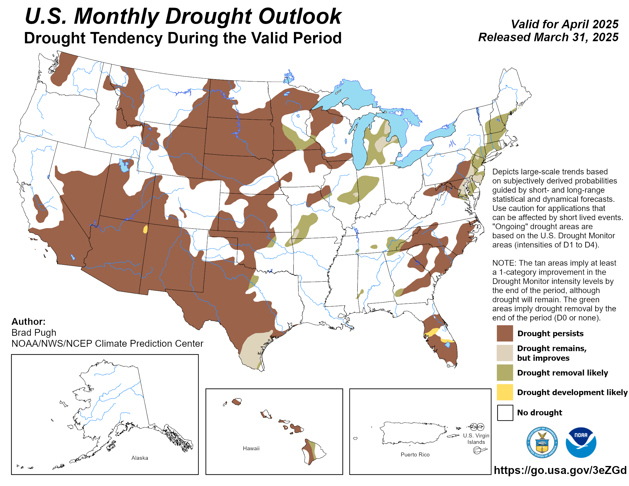
It was a nice 3-4 month reprieve but drought is on its way back across Oklahoma. Hopefully fall will bring some relief but La Nina typically means drier fall and winter weather across the state. The one x-factor will be tropical systems either hitting Texas and moving north or hitting the west coast of Mexico and moving northeast.


Friday and Saturday don’t look too bad, at least. Strongly suspect that the back half of this month is going to be absolute hell.
We now have a Cat 5 hurricane in the Atlantic: Beryl. It has been forecasted to weaken but if it stays together could impact the Texas coast early next week. With the high shifting east that opens up the possibility for some tropical moisture to move north into OK. The path will change everyday and it may avoid the U.S. entirely but something to watch this weekend especially if heading toward the Texas Gulf coast.


man if it doesn't weaken Belize and the Yucatan are going to get smoked ..


Thursday night is looking better for rain/storm chances. Doesn't look like any crazy amounts, but a drink and temperature relief is always welcome.


GFS showing Beryl landfall in Texas then moving north into Oklahoma Wednesday into Friday next week. Likely will change but would be amazing if it happens.


Thursday night:


Is the Sahara dust cloud still over the gulf region into Texas and, if l recall, shouldn't it help keep the hurricane strength down a bit?


SPC has upgraded the region to Slight Risk for tonight’s storms.


My AC and wallet will enjoy the short break this week.
Storms begin firing around 5 pm with more coverage expected toward 7-8 pm
7 pm HRRR

Looks like some small initiation a bit south of the greater metro.


Looks like it right over town!

finally getting some rain here in nw okc near lake hefner... all the storms going through okc have been just missing us to the east so very grateful for it
Really a nice soaker at my house near Penn Square and temp has dropped over 20 degrees.
I'll take every drop we can get in July & August.
SW OKC by airport got a good soaking. We were hanging by pool and was looking at planefinder at flights coming in. There was one from St Louis an one from SLC that they had both doing loops on their flight path. Wondered why but then as soon as the storm passed....they came right in.
On a side note for all the weather gurus on here........where do you think Beryl hits and at what strength? Just bought a beach house on South Padre and wondering if we are going to get hit.
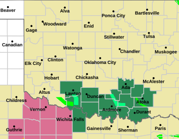
FLOOD WATCH until Sat, 7/6 5:15pm
Areas Affected:
Harper - Woods - Alfalfa - Grant - Kay - Ellis - Woodward - Major - Garfield - Noble - Roger Mills - Dewey - Custer - Blaine - Kingfisher - Logan - Payne - Beckham - Wa****a - Caddo - Canadian - Oklahoma - Lincoln - Grady - McClain - Cleveland - Pottawatomie - Seminole - Harmon - Greer - Kiowa - Jackson - Tillman - Comanche - Stephens - Garvin - Murray - Pontotoc - Cotton - Jefferson - Carter - Love
Effective: Sat, 7/6 2:31am Updated: Sat, 7/6 3:07am Urgency: Future
Expires: Sat, 7/6 5:15pm Severity: Severe Certainty: Possible
Details:
* WHAT...Flooding caused by excessive rainfall is possible.
* WHERE...Portions of central, east central, northern, northwest,
southern, southwest, and western Oklahoma, including the following
counties, in central Oklahoma, Canadian, Cleveland, Grady,
Kingfisher, Lincoln, Logan, McClain, Oklahoma, Payne and
Pottawatomie. In east central Oklahoma, Pontotoc and Seminole. In
northern Oklahoma, Garfield, Grant, Kay and Noble. In northwest
Oklahoma, Alfalfa, Blaine, Dewey, Ellis, Harper, Major, Woods and
Woodward. In southern Oklahoma, Carter, Garvin, Jefferson, Love,
Murray and Stephens. In southwest Oklahoma, Caddo, Comanche,
Cotton, Greer, Harmon, Jackson, Kiowa and Tillman. In western
Oklahoma, Beckham, Custer, Roger Mills and Wa****a.
* WHEN...From Sunday afternoon through Monday morning.
* IMPACTS...Excessive runoff may result in flooding of rivers,
creeks, streams, and other low-lying and flood-prone locations.
* ADDITIONAL DETAILS...
- http://www.weather.gov/safety/flood
Information:
You should monitor later forecasts and be alert for possible Flood
Warnings. Those living in areas prone to flooding should be prepared
to take action should flooding develop.


Nice drink of water this morning with much of the Metro getting 1-2” of rain. Just to our northwest, Kingfisher County is approaching 5” of rain.
Would think this complex traveling much further south than modeled will likely scuff the severe weather potential later today, so that’s another benefit. Additional storms still appear possible overnight into tomorrow morning, with heavy rain once again the main threat.
Tomorrow and Tuesday should be beautiful July days with highs in the 80’s. Thereafter, the remnants of Beryl exit stage right and the heat dome starts to build back in. We will likely be pushing triple digits once again by the end of next weekend, and this looks to be an extended heat wave. So make sure to get outside and enjoy the next few days!
Sun is coming out…..Lots of time to heat up again?


Scattered storms are reforming across Central Oklahoma currently but don’t look too strong as of right now. Would think that the greatest severe weather chances this afternoon/evening will focus across the southwest quarter of the state which is where the atmosphere hasn’t yet been worked over.
There are currently 4 users browsing this thread. (0 members and 4 guests)
Bookmarks