

Don't look at the latest GFS model for next weekend
Honestly this time of year into March is when you can sometimes see wrap-around snow on the backside of these low pressure systems. It can be heavy but never lasts long, and more often than not is just a cold rain with the wet snow staying in CO/KS.


NWS put out 1-2 for the metro. You know cause they won't an just about anyone won't post snowfall totals more than 48 hours before the event. TV does it for click bait let's just keep it real folks. 1-2 might even be pushing it if trends continue.


Still a ton of uncertainty with this system, and it really does look like it will ultimately be a nowcast situation for OKC, as there very well could be a narrow swath of significant snow accumulations wherever the deformation band sets up as the storm slowly moves across the state tomorrow evening. But where that occurs is still anyone's guess. Right now the models would suggest the I-44 corridor to be favored, but there are still approximately 30-42 hours until we'll know for sure, which is more than enough time for things to shift north/south.


Yes models today are coming back north on track a bit. This will be a matter of 1-2 degrees and where that changeover happens. Lose-lose forecast because someone 10 miles away will have cold rain whilst the other has 6 of snow.
Winter Storm Watches out for W and SW OK.


Latest HRRR is dropping 4-6” along I-44. SW OK could see some spots pick up close to a foot.


NWS service going with Winter Weather Advisory for C OK.
NAM and HRRR both increasing snowfall chances along I-44. Any significant accumulation is going to be extremely local/narrow.


Imagine if the TV meteorologists end up being right.


I was just going to say the same thing. You could go from nothing to heavy snow in 30 miles. Does it fall faster than it melts will be the big question. If it does we might get a few inches maybe 4 inches if it doesn't than MEH be not much different than rain.


This is crazy 8:30 Saturday night and we don't know really any more than we did 3 days ago. Some of these computer models are just spitting out some huge totals cause the path is perfect for snow. However where is the cold air? How much cooling do we get from precipitation falling. Is the rate of fall faster than the rate of melting. We still don't know


Bottom line is we'll be getting a nice amount of moisture for early February, which is great for us as wildfire season approaches.
Now it looks like we should start to get heavy, wet snow this afternoon which is already falling in the western part of the state.
That's going to be a major bummer for all the Super Bowl parties as well as the coffers of local bars and restaurants.


KFOR is just going with "total snowfall" not how much is going to be left after melting. So they have like 8 plus inches on their map which is possible for 'TOTAL" snowfall. NWS is 3-4 for the metro after melting I think Cross our fingers but I don't think the roads get really bad until late late like 10-11pm late.


Light sleet in Piedmont at 11:52 AM.


Latest HRRR still giving I-44 corridor and points south some decent accumulation on grass surfaces.

Oh NM
How do you add images from the likes of Tropical Tidbits. When I save and upload an image it's blurry.
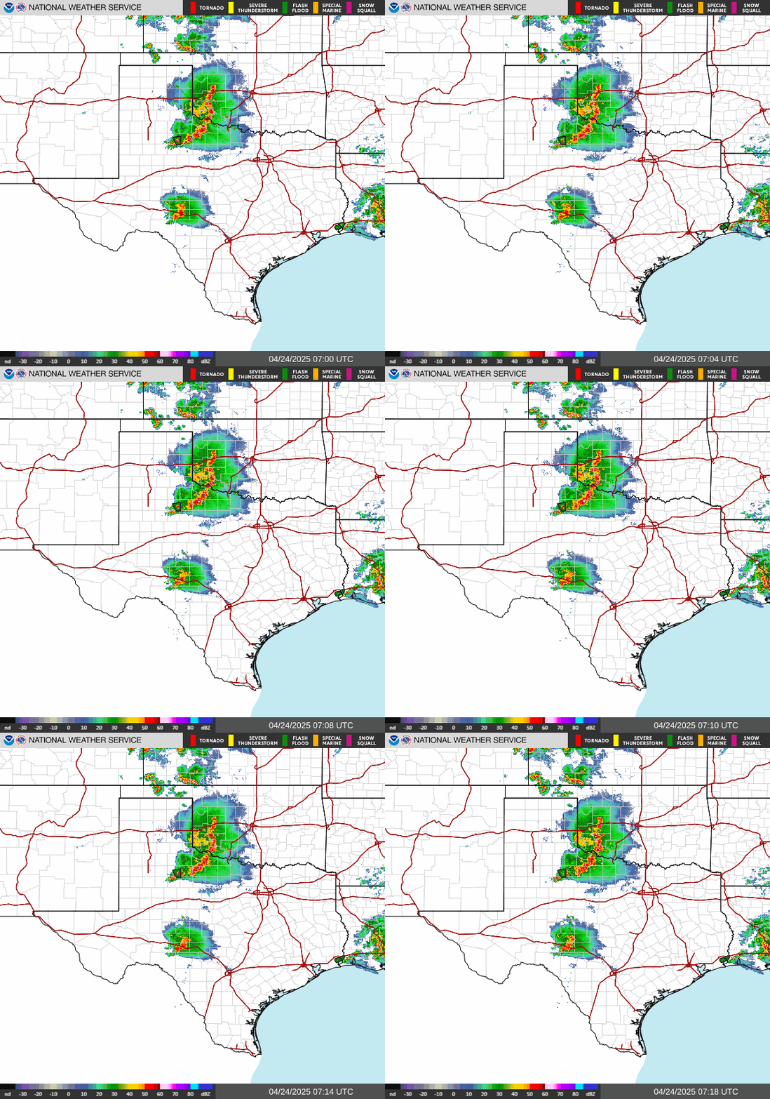
Stillwater is near the edge of the snow area and may not get any accumulation. Very little rain in Stillwater as of 3:45 pm, not enough to tip the bucket. 42 degrees. A look at the current radar:


You can see on the air temperature map and visible satellite where the most snowfall occurred.

I drove home from Edmond last night just after halftime of the Super Bowl and it was a straight-out blizzard for the entire 25-minute drive.
None of it was sticking on the roads (or so it seemed) but pretty low visibility and when I got to the infamous I-44 curve near Penn Square I made sure no other cars or semis were anywhere near me. I should have probably exited earlier and taken side streets. That stretch is harrowing on a good day.


Well KFOR did somewhat have the total right when the put the snowfall maps out on Wednesday. Location not so much. which I know how to post pictures on here from his tweets on Wednesday and Thursday comparing to the final NWS map
There are currently 3 users browsing this thread. (0 members and 3 guests)
Bookmarks