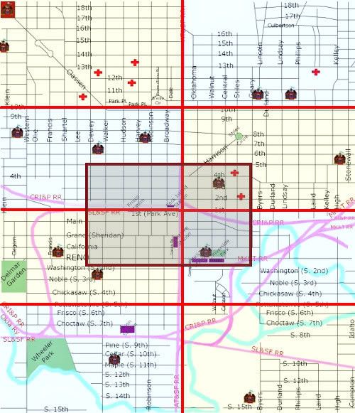
I've embarked on a new project ... it's just in its infancy and will take several weeks to complete, I'm supposing. It's an interactive map of vintage Oklahoma City (not yet defined, but probably extending through 1960-70 or so) bounded by N. 18th and S. 15th on the north and south and Klein and Stonewall on the west and east:
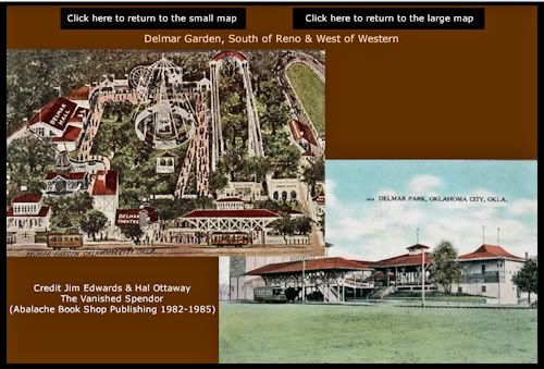
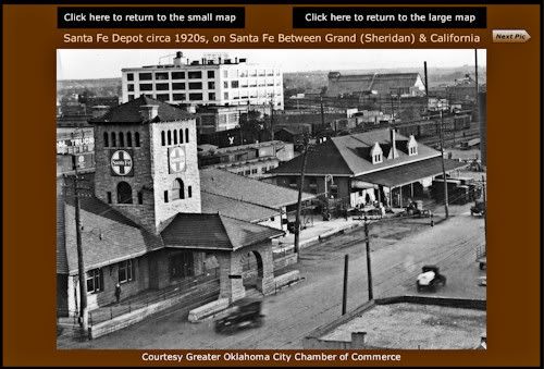
The "small" map (above) is broken into 8 quadrants (octorants?) plus an overlapping area in the center, as shown. In the larger quadrants (or whatever they should be called), the buildings or areas can be clicked on for images or other links, such as that shown below for Delmar Garden and the Santa Fe depot:
Larger: http://i8.photobucket.com/albums/a49...ple_delmar.jpg
Larger: http://i8.photobucket.com/albums/a49...le_santafe.jpg
I'm torn between using "flash" (which is way more interactive than html, and, once it's loaded, fast; but flash files are much more slow to load and this one could wind up being a very large flash file). "Html" pages load much more quickly but are much less interactive. I've got the main structure set up in "flash" right now but I'm wondering if that is the best way to go.
The map, as it is right now, is at Doug Dawgz Blog: Vintage Oklahoma City Clickable Map. The structure of the maps is largely "unpopulated" by buildings ... only the 5 passenger rail terminals and Delmar Garden and Wheeler Park have pictures associated with any links in the map as it stands right now. Before I really spend a lot of time populating the map(s) I need to decide whether to proceed with flash or take a tack toward html code, instead. I can easily see that this project will involve a couple of hundred buildings or so. So, before I do that, I'm trying to look at this project objectively, make a decision, and then proceed.
I'd appreciate any feedback, comments, etc., about how to proceed. Html, flash, or about anything else.


 Reply With Quote
Bookmarks